Tomogonops River Assessment
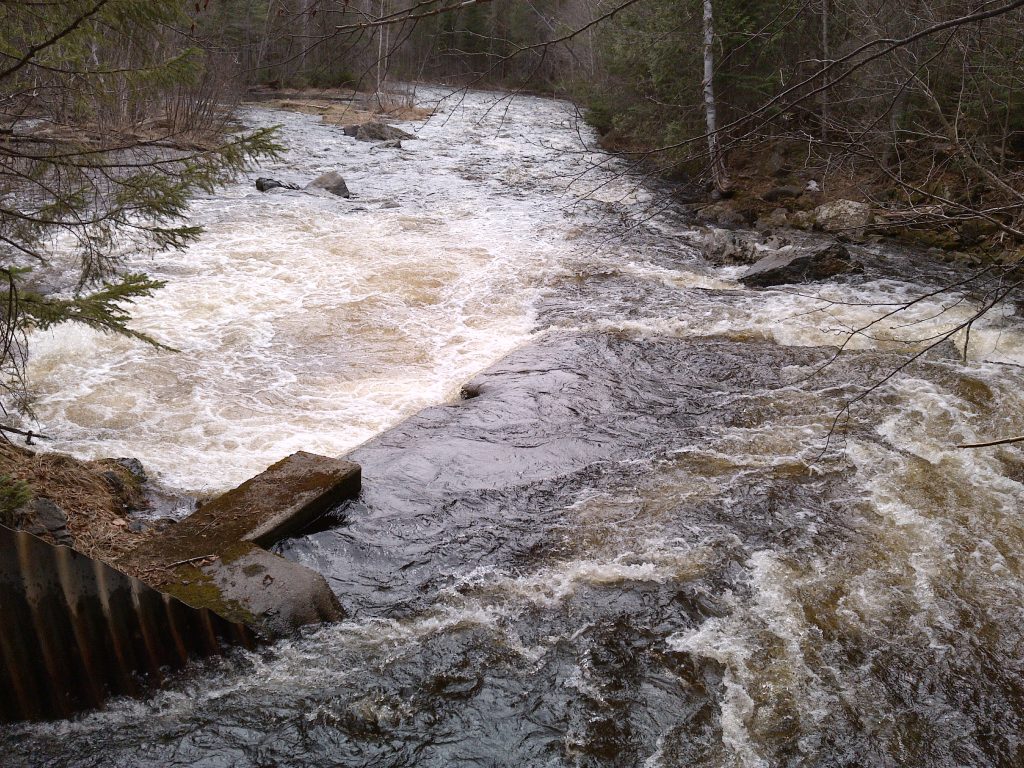
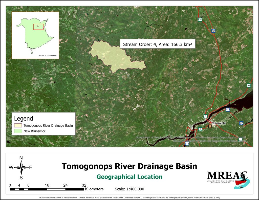
In 2022, the Miramichi River Environmental Assessment Committee (MREAC) was supported by the the Foundation for Conservation of Atlantic Salmon (FCAS) to prepare an Atlantic salmon conservation strategy for the Tomogonops River, which is a tributary to the Northwest Miramichi River. MREAC staff and volunteers completed significant environmental monitoring and habitat assessments during the open water season of 2022. A significant history of industrial impact is available for this drainage basin as part of its headwaters were the receiving waters of mine-influenced flow of the Heath Steele base metal mining and milling operation. The impact of acid mine drainage was problematic for Atlantic salmon and other species in the receiving streams. The significant remediation efforts and recovery subsequent to this damage have been monitored and reviewed. With available data, visual observations, river monitoring, and communication with river stakeholders, it appears that the Tomogonops River has recovered from these mining impacts. The waterway continues to receive third-party monitoring because of this history. Collection and treatment of acidic waters draining from the former mine footprint will continue into the foreseeable future.
Limiting factors to Atlantic salmon production are herein identified and, where possible, addressed with a remediation strategy. Some natural limiting factors will be insurmountable. Future efforts should concentrate on maintaining the existing ecological values that sustain the existing stock of Atlantic salmon and other indigenous fish species. This and other comparable sized tributaries in eastern New Brunswick should be assessed further to determine the actual size of the annual spawning population. Resource protection should be enhanced as human resources allow.
Black River Assessment
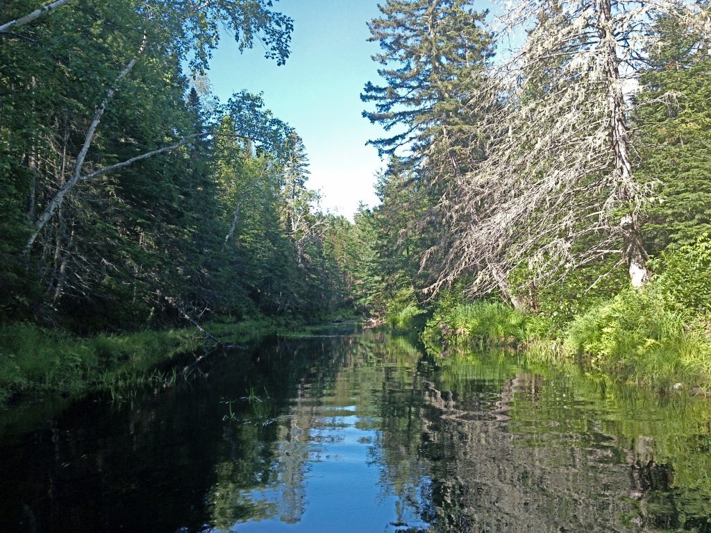
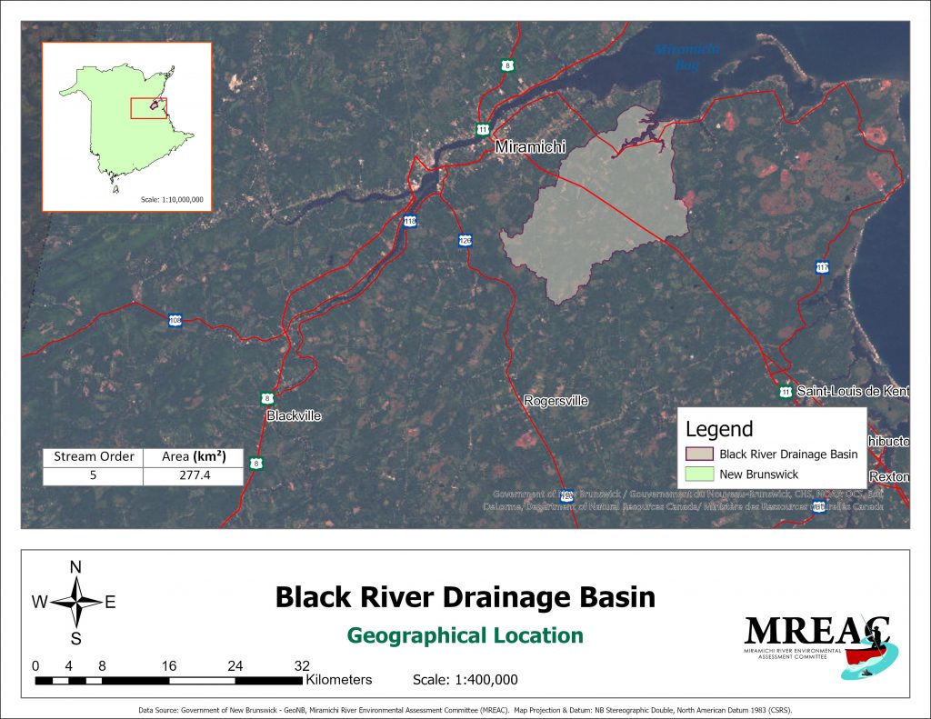
In 2021 MREAC was supported by the Foundation for Conservation of Atlantic Salmon to prepare an Atlantic Salmon conservation strategy on the Black River, tributary to Miramichi Inner Bay. MREAC staff and volunteers completed significant environmental monitoring and habitat assessment during the open water season of 2021 to contribute to the strategy. Little historic data was available on this watershed. Interviews with local recreational fishers were conducted when possible.
Based on available data, visual observations, river monitoring and communication with river stakeholders, the Black River does not appear to have habitat characteristics required to sustain a significant Atlantic salmon production. Limiting factors to Atlantic salmon production, where possible, should be addressed. Some natural limiting factors will be unsurmountable. Future efforts should concentrate on maintaining the existing ecological values that sustain the existing stock of Atlantic salmon and other indigenous fish species. This and other comparable sized tributaries in eastern New Brunswick should be assessed further to determine the actual size of the annual spawning population. Resource protection should be enhanced as human resources allow.
Bay du Vin River Assessment
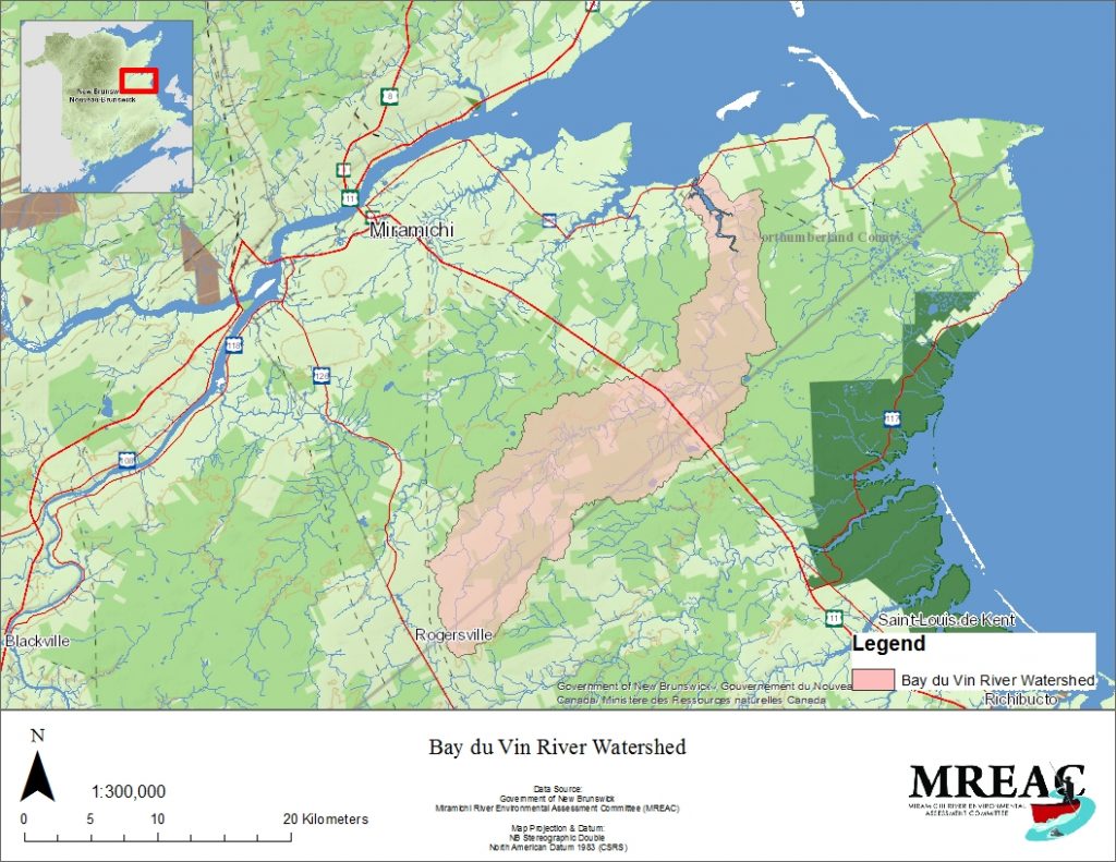
A Bay du Vin River drainage basin habitat assessment for Atlantic salmon potential was completed in 2013 by MREAC staff and volunteers. In 2020 additional monitoring was completed to supplement the available data set from previous work on this waterway. With this monitoring and research completed on the Bay du Vin River to date, we deliver this Atlantic salmon conservation strategy.
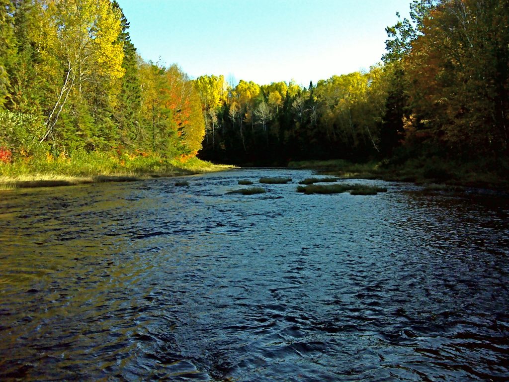
The Miramichi River and her many tributaries remain a critical refuge for Atlantic salmon in New Brunswick, Canada. Among these the Bay du Vin River is an orphan river within the much larger Miramichi drainage basin. Relatively little is known about existing salmon angling and the river’s potential of producing Atlantic salmon. This being so, a habitat assessment of the Bay du Vin River in 2013 was a valuable first step in attaining the appropriate overview required to determine this rivers potential of contribution to the sustainability of Atlantic salmon. In 2020, with ASCF support, MREAC undertook the preparation of an Atlantic salmon conservation strategy on the Bay du Vin. Additional temperature monitoring, field surveys, and electro-fishing in 2020 supplemented the 2013 data.
Barnaby River Assessment
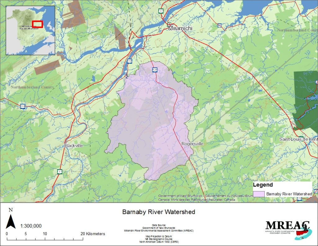
The Miramichi River Environmental Assessment Committee (MREAC) engaged in an Atlantic
salmon habitat assessment on the Barnaby River drainage basin in the spring and summer of
2015 in order to determine if the drainage basin maintains habitat requirements that sufficiently
provide an important contribution to regional stocks of Atlantic salmon (Salmo salar).
Three representative river reaches were surveyed using the DNR&E / DFO – New Brunswick
Stream Habitat Inventory field form. The three reaches (Barnaby @ HWY 126, Barnaby @
Semiwagan Road, and Semiwagan Stream @ Semiwagan Road) had a combined linear distance
of 3000 meters. Of the 51.5 kilometer Barnaby River meander length, 30 kilometers were
travelled by canoe. Visual observations were noted and points of interest were recorded for
further investigation.
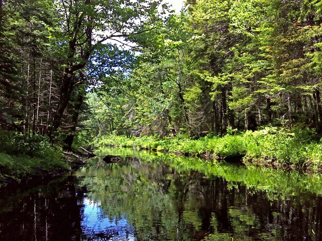
Three sites were also monitored for water temperature via data loggers (HOBO U20 and TidbiT
v2) which were deployed early in the field monitoring season and extracted late in the season. Understanding the thermal regime was important since cooler water temperatures are important
to maintain a healthy environment for salmonids.
A set of water quality samples were collected near the three data logger sites and analyzed for
various parameters (*B package and E.coli) at the Department of Environment and Local
Government’s (DELG) laboratory in Fredericton, New Brunswick. Land-use and available
historical data and events were taken into consideration during the assessment process.
Bartholomew River Assessment
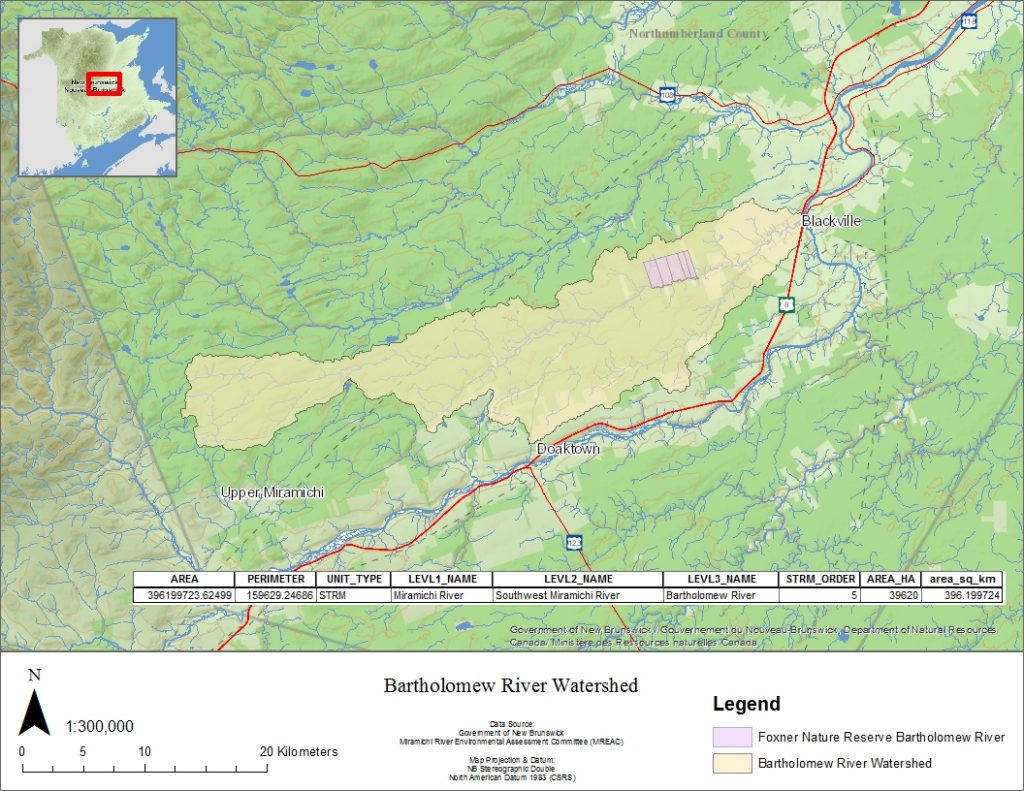
The Miramichi River Environmental Assessment Committee (MREAC) engaged in an Atlantic salmon habitat assessment on the Bartholomew River drainage basin to determine if this drainage basin maintains habitat requirements that sufficiently provide an important contribution to regional stocks of Atlantic salmon (Salmo salar).
Two representative river reaches, Bartholomew @ CABIN site and Bartholomew @ Foxner, were surveyed using the DNR&E / DFO – New Brunswick Stream Habitat Inventory field form. The two reaches had a combined linear distance of 2503 meters, and of the 61 kilometer meander length 22 kilometers were travelled by canoe. Visual observations were noted and points of interest were recorded and investigated.
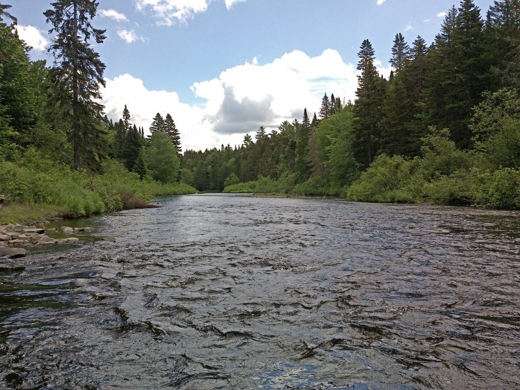
In order to get a better understanding of the thermal regime of the Bartholomew River, water temperature data loggers were deployed at five sites during the open fishing season. This was important since cooler water temperatures are important in maintaining a healthy environment for salmonids. A suite of water quality samples were collected at the CABIN site and sent to RPC laboratory in Fredericton for analysis. The results were obtained for their Surface Water Package and E.coli. Historical data and land-use were also taken into consideration during the assessment process.
Bartibog River Assessment
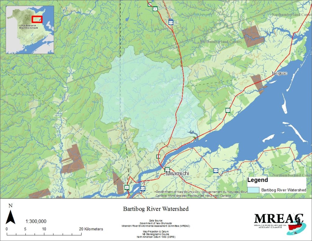
The Miramichi River Environmental Assessment Committee (MREAC) engaged in an Atlantic
salmon habitat assessment on the Bartibog River drainage basin in the spring and summer
months of 2014. Three representative reaches were surveyed using the DNR&E / DFO – New
Brunswick Stream Habitat Inventory field form. Two suites of water quality samples were
collected at selected sites and analyzed for the Department of Environment and Local
Government’s (DELG) *B package and E.coli. Historical data and events were also taken into
consideration during the assessment process.
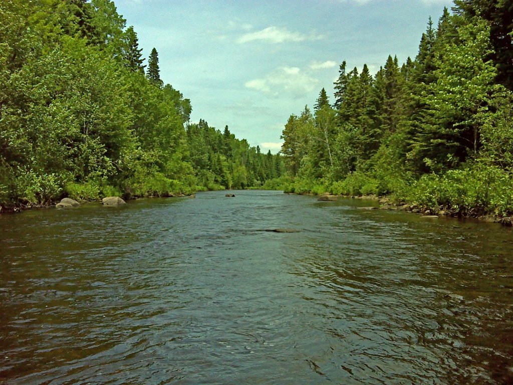
The assessment focused on three reaches (top, middle, and bottom) having a combined linear
distance of 3000 meters. Of the 60 kilometer meander length of the Bartibog River, 21
kilometers were travelled by canoe. Other points along the river, access via forestry roads, were
also investigated. Visual observations were noted and points of interest were recorded for further
investigation.


