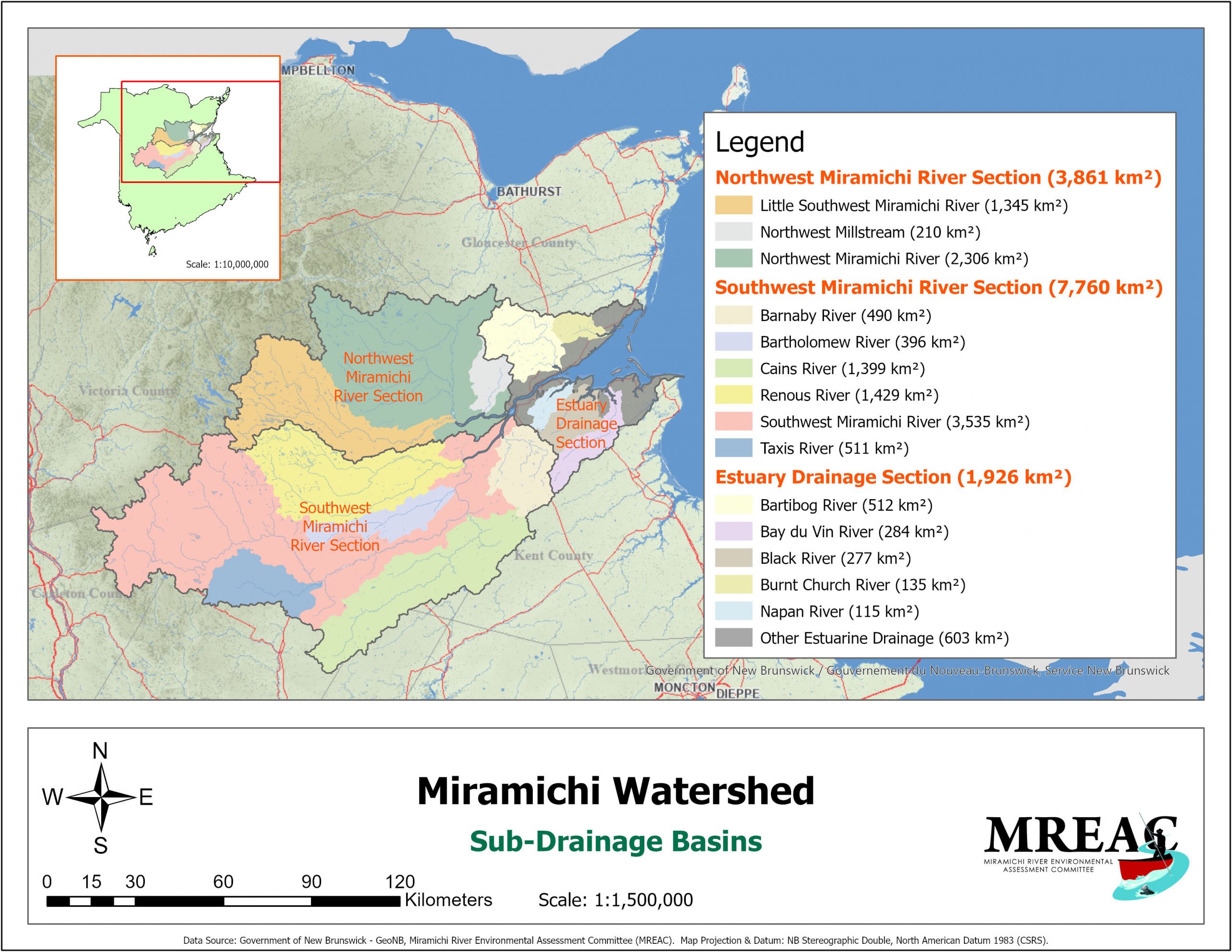
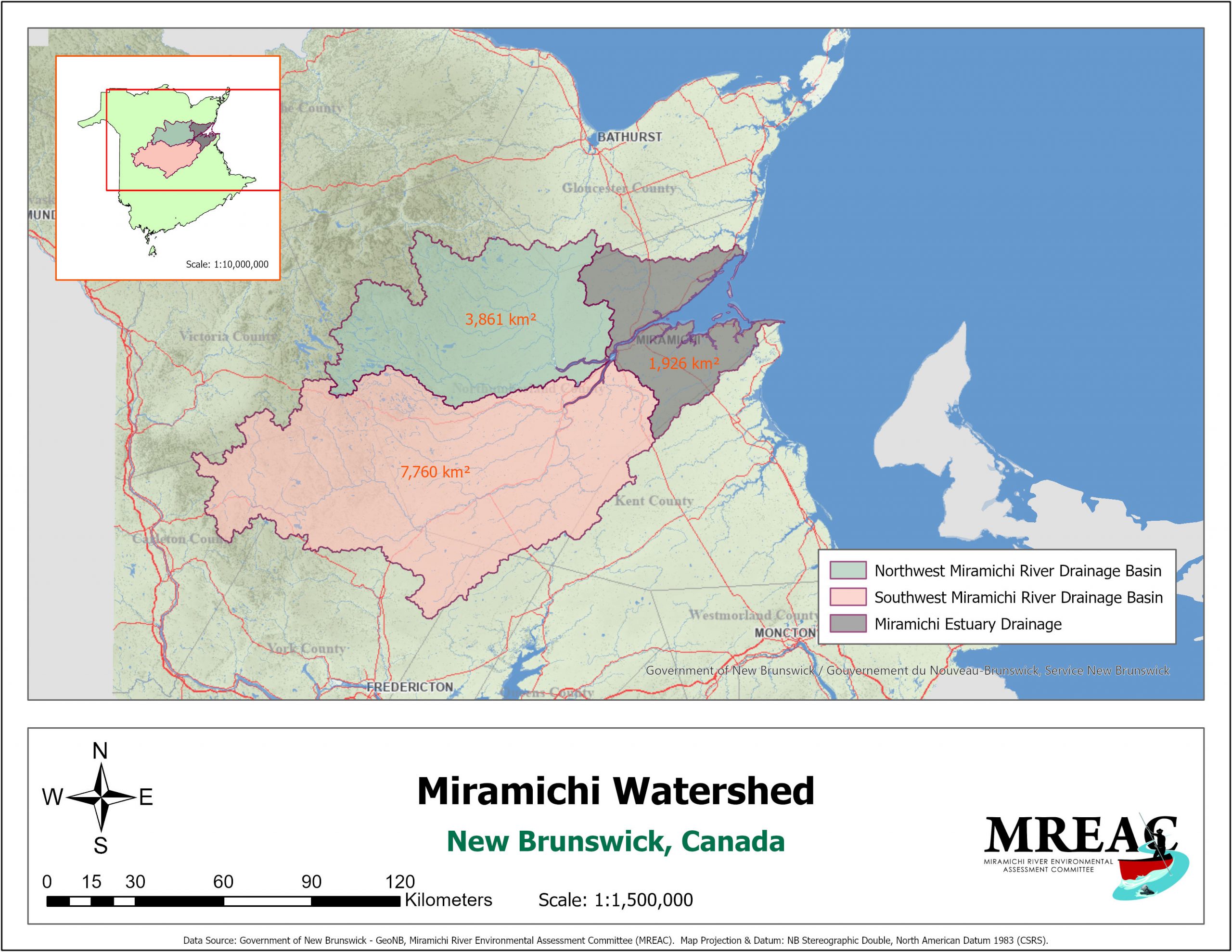
MREAC's interest is in the Miramichi watershed and in the estuarine environment. This is a huge diverse area (~13,547 km²). The freshwater and estuarine environments are obvious divisions that have very different dynamics and biota.
Miramichi Estuary
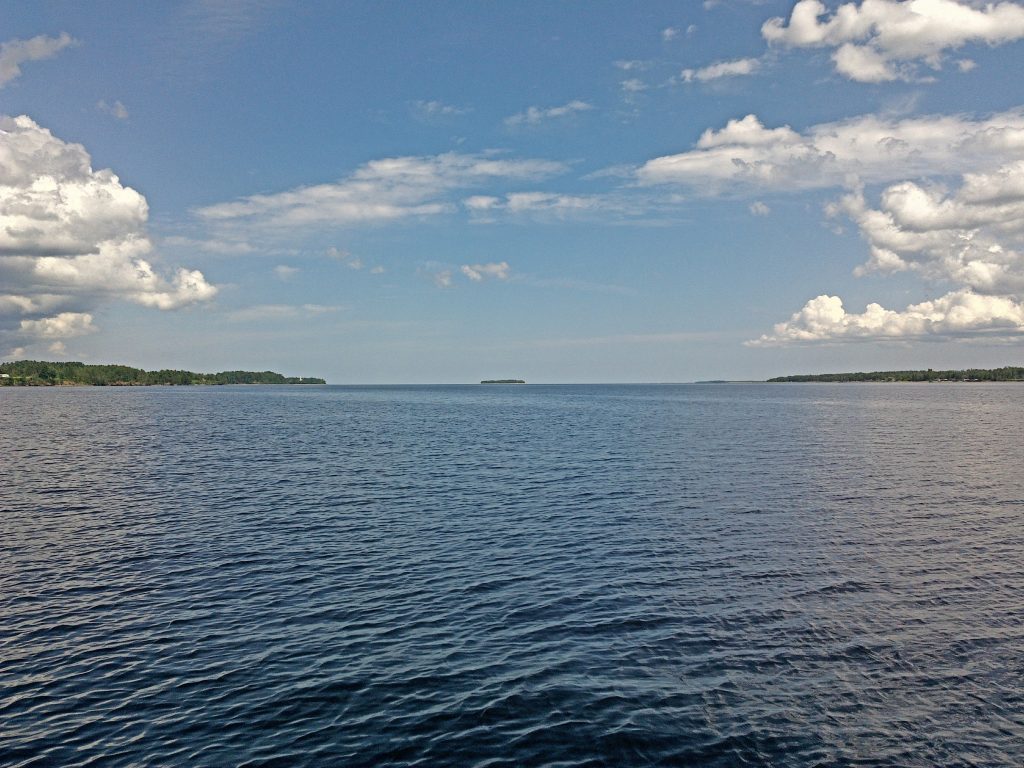
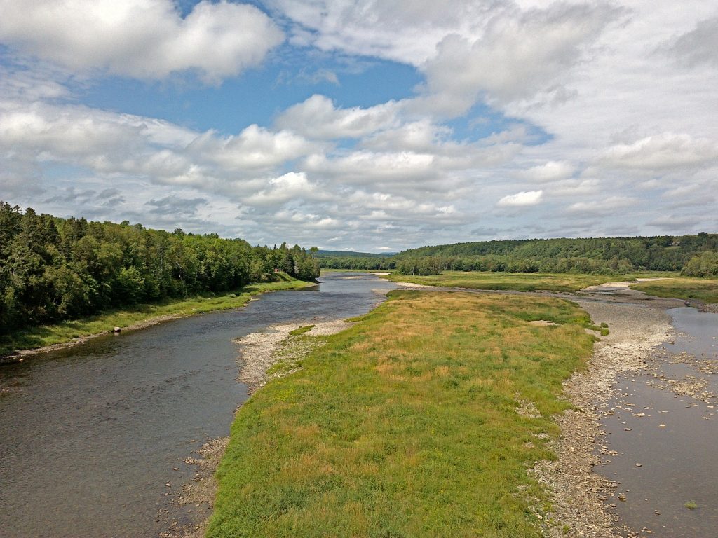
The mouth of the Miramichi River is a drowned river valley. This term implies that sea level is (and has been) rising relative to the level of the land. The river mouth thus flooded or 'drowned' in salt water. From the channel that opens Miramichi Inner Bay into the Northumberland Strait to the head of tide at Quarryville is 71 km. The estuary is thus strongly influenced by diurnal (twice daily) tidal cycles. This has created an extensive estuarine environment that is over 300 km² in area. The estuary is sheltered behind barrier islands that protect it from the full force of storm waves generated in the Gulf of St. Lawrence.
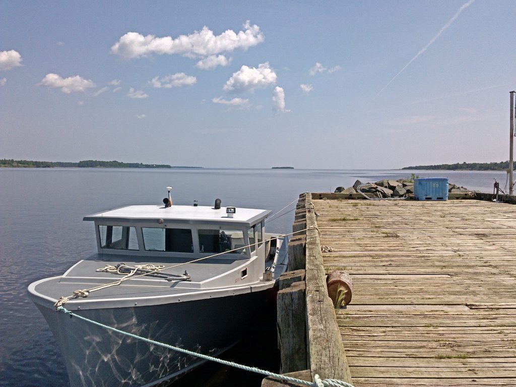
Organic materials transported from land, freshwater, and saltwater environments are at the base of a food chain that sustains remarkable populations of marine plants and animals. This system supports a very valuable commercial fishery including several species of fish and shellfish. Many of the coastal communities are very dependent on the economic value provided through these resources. Most of the human population and industrial and commercial activities takes place on its edge. Many of MREAC's concerns are concentrated here in the Miramichi estuary.
Sheltered by the barrier islands, the estuary is a sediment trap, a nutrient trap, and a trap for undesirable impacts from land and water sources. DDT spraying in the 1950's and 60's had profound effects. A residue of this spray is, in part, resident today in the sediment deposits of the Miramichi Inner Bay. Heavy metals from decades of base metal mining on the Tomogonops River, and organochlorines from the pulp and paper mills at the head of the salt wedge, add to the problems entrapped in the sediment layer.
Freshwater Environment
The meander length of the Miramichi River is 250 km. This world renowned river drains almost one quarter of the province of New Brunswick.
The major tributaries comprising the Miramichi system are:
- Northwest Miramichi River
- Southwest Miramichi River
- Little Southwest Miramichi River
- Renous River
- Dungarvon River
- Cains River
- Bartholomew River
- North Sevogle River
- South Sevogle River
- Barnaby River
- Taxis River
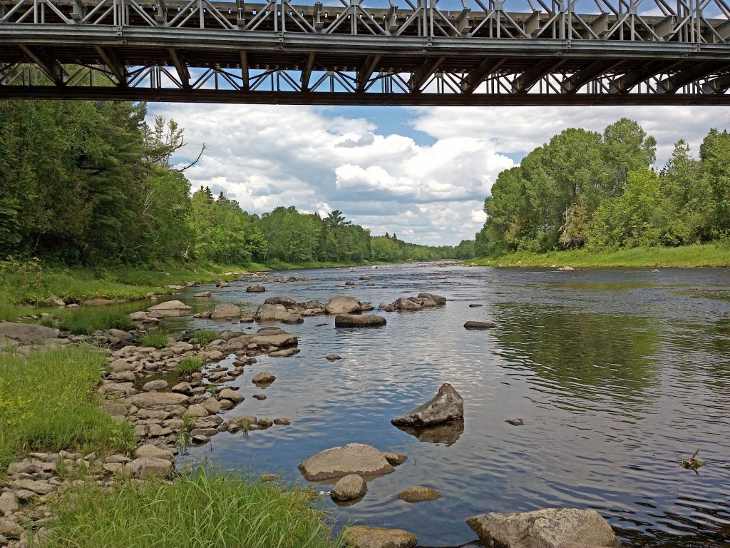
Atlantic salmon and trout fishing have made the reputation of these freshwater rivers. An international clientele frequent the lodges and camps that dot these many branches.
Most of the area is uninhabited woodlands and much of it is harvested for wood products. In the north of the watershed, located on the smaller Tomogonops River, mineral resources such as zinc, copper, and lead were extracted. The facility was decommissioned in 2000.
Miramichi Watershed